Explore this LIDAR scanned virtual tour below. From a LIDAR scan we can also produce 3D models in formats such as DXF (for software such as AutoCAD), 3D Color Point Cloud (PLY), 3D Gaussian Splatting (PLY), 3D Colored Polygonal Model (OBJ), and 3D Panoramic Tour Data (OBJ)
About LIDAR scanning your factory or workshop to produce virtual tours and other digital assets
A LiDAR (Light Detection and Ranging) scanning produces an immersive virtual tour – an interactive, three-dimensional digital representation of your factory, workshop, warehouse or showroom. The LiDAR technology uses laser pulses to measure distances to objects and surfaces along with 8k ultra imaging. The data it captures is highly accurate three-dimensional data about the environment’s shape and dimensions and has a range of up-to 140 metres. Combining LIDAR technology with photography allows us to create a virtual tour like the example below. This allows you to explore a space remotely through a digital interface. Instead of physically being there, you can navigate through the environment, with 360-degree views and the ability to move from one location to another within the digital model.
LiDAR provides exceptionally accurate measurements, leading to virtual tours that are a precise digital twin of the actual space. This accuracy extends to dimensions, spatial relationships, and even fine details.
Because the underlying data is a true 3D model, LiDAR virtual tours offer a more realistic and immersive experience compared to tours created from static panoramic photos. Viewers often have a better sense of depth, scale, and spatial layout.
LiDAR virtual tours are used across various industries, including architecture and construction, documenting as-built conditions, progress monitoring, and virtual walkthroughs of designs.
Within engineering allowing us to create detailed digital twins for analysis and planning. In cultural heritage we can preserve and showcase historical sites and artifacts. For facilities management we can carry out remote inspections, space planning, and maintenance documentation. And within insurance we are able to carry out remote damage assessment and documentation.
For more information on LiDAR scanning or LiDAR virtual tours, get in touch
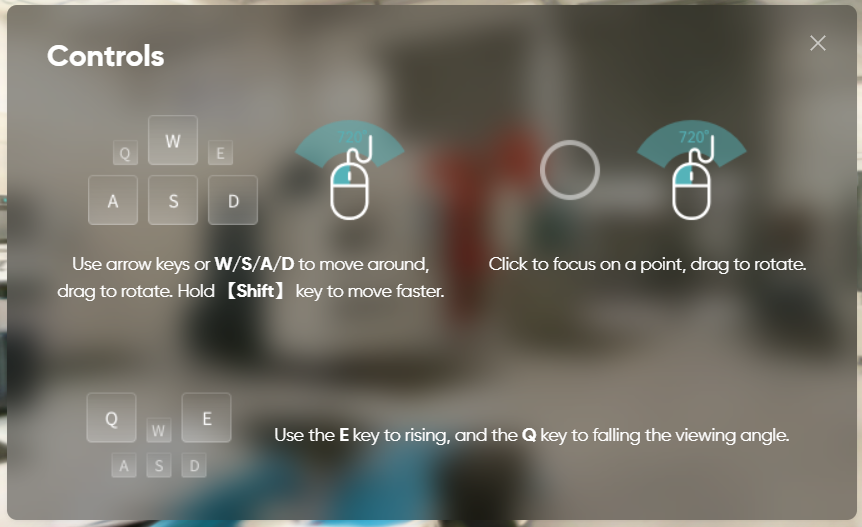
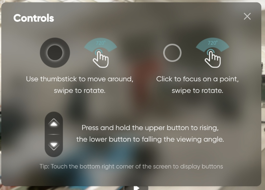
How to navigate and control the LIDAR virtual tour below